Shape + Validate: An Industrial R&D Powerhouse in Simulation
Urban Hawk focuses on the critical moment when innovation becomes product. This makes us the partner of choice for R&D consortia, commercial players preparing for TRL 7–9, and investors seeking validated technologies ready to scale.
Story
Founded in 2017, Urban Hawk has become a trusted partner in some of Europe's most ambitious R&D programmes.
Our Contributions
∙ Sea Traffic Management Validation Project (EU)
∙ 5G-Victori (Horizon)
∙ Two UK National Resilience projects (InnovateUK)
∙ Collaborative AI for Manufacturing Hub (UKRI)
As consultants to UKRI and UKSA, and as a proud NVIDIA Inception member, we combine industrial focus with cutting-edge research expertise.
Clients & Partners
Objective
The TRL Bridge
Technology is abundant at the concept stage — but only a fraction becomes validated product.
Urban Hawk exists to bridge this gap. We shape early-stage innovations (TRL 1–6) into prototypes and validate them through testbeds and field trials.
We are Essential
This role makes us essential for consortia seeking credible partners, for industry preparing for TRL 7–9, and for investors assessing when a technology becomes truly scalable.
Technology Pillars
“Our R&D capabilities combine applied science with industrial validation.”
Our projects span a wide technical footprint:
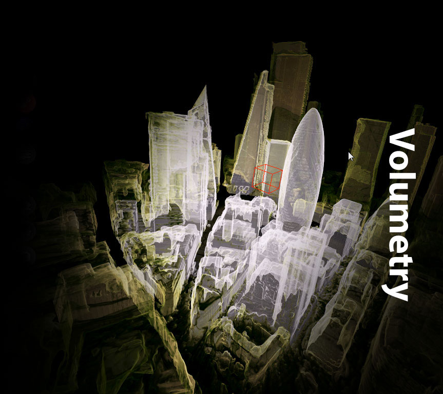
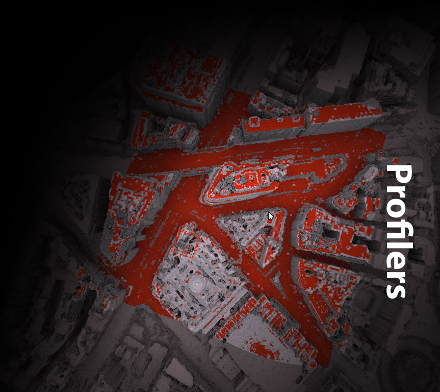
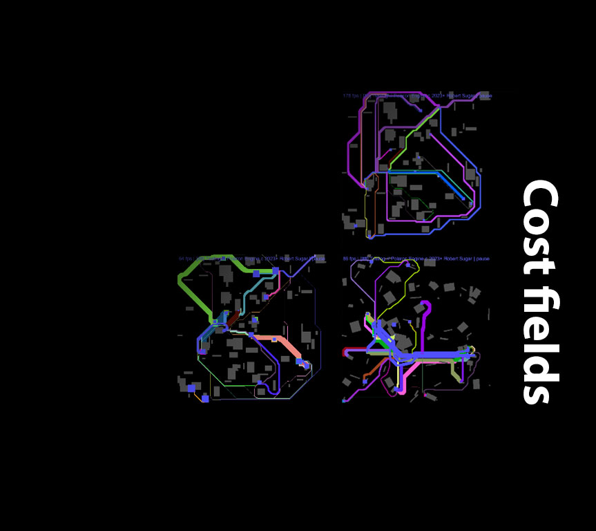
∙ Simulation & real-time systems
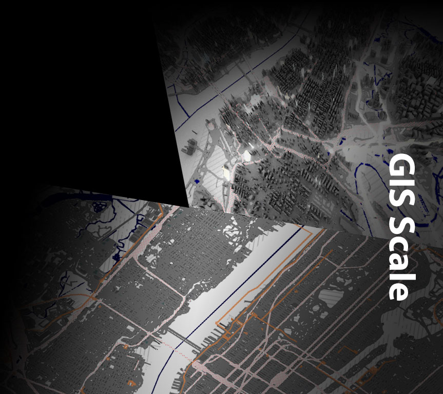
∙ Geospatial & crowd modelling
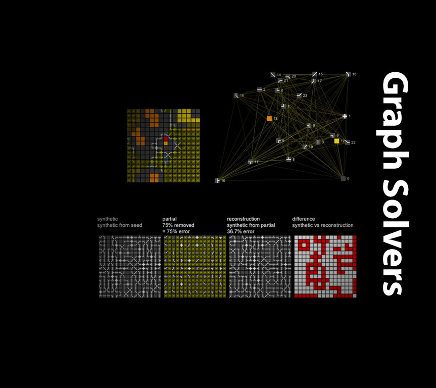
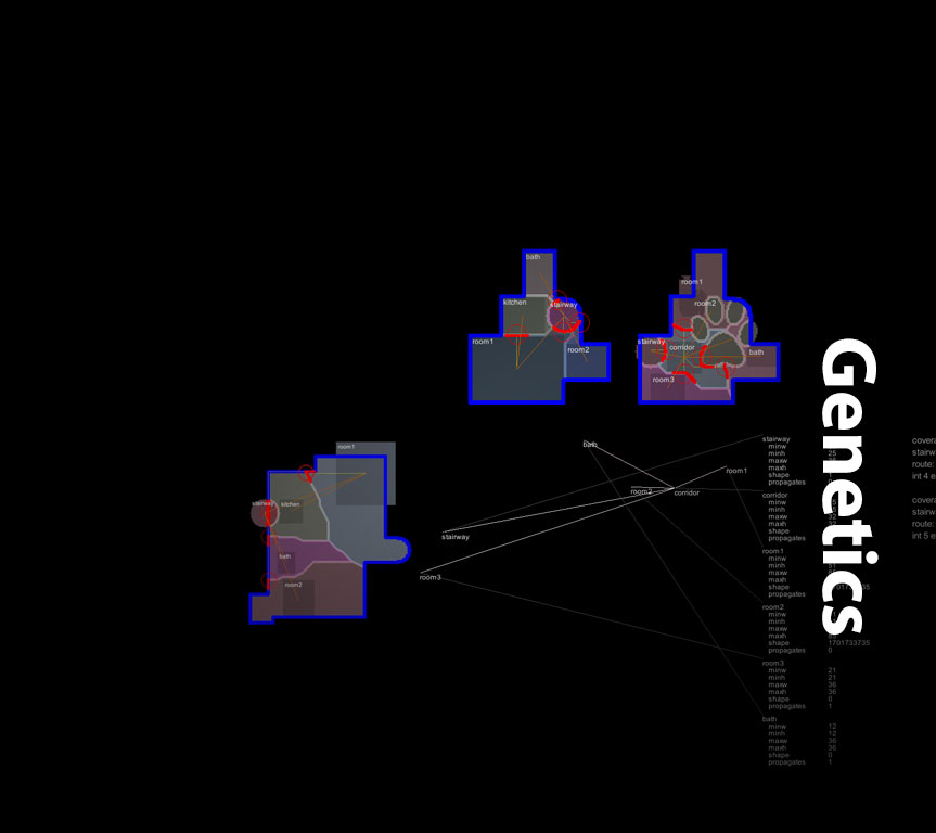
∙ Neural AI & quantum-inspired genetic algorithms
∙ Vision, sensing & human–machine collaboration
∙ Risk, safety, optimisation & resilience
Industrial Applications
“Validation is where innovation becomes investable. Urban Hawk delivers both technical and use-case validation to reduce risk for industry and investors.”
Our research is validated in applied contexts across:
Security & Defence | |
First Responders & Disaster Relief | |
Transport & Logistics | |
Manufacturing & Industrial Operations | |
Insurance & Risk Modelling |
Get in touch
To explore collaboration, research partnerships, or validation projects:
Robert Sugar, CEO
robert.sugar@urbanhawk.space
John Tapsfield, CTO
john.tapsfield@urbanhawk.space
© 2025 Urban Hawk Limited. All rights reserved.
Copyright in this website (including, without limitation, text, images, videos, logos, icons, sounds recordings, software and source code) is owned or licensed by Urban Hawk Limited.
Copyright in material provided by agencies, private individuals or organisations may belong to those agencies, individuals or organisations and are being licensed by Urban Hawk Limited.
Urban Hawk Limited, a company incorporated and registered in Bristol, Somerset, United Kingdom.
Registered office - 15 Honeywick Close, Bristol, Somerset BS3 5ND, United Kingdom.
Registered number - 10615898.
VRN - 317149606.